
Sponsored
Top geolocation APIs for enhanced mobile app development in 2025
Discover the top geolocation APIs for mobile app development in 2025. Enhance user experience with innovative features and cost-effective solutions.
Just a heads up, if you buy something through our links, we may get a small share of the sale. It’s one of the ways we keep the lights on here. Click here for more.
In mobile app development, geolocation services have become indispensable.
By 2025, these services are expected to be even more sophisticated, offering developers the tools to create apps that provide users with personalized, location-based experiences.
This article ranks and reviews the top geolocation APIs for mobile app developers in 2025.
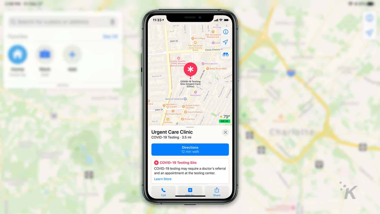
Google Maps Platform
Google Maps Platform continues to be a leading choice for developers in 2025.
Known for its reliability and comprehensive data, Google Maps offers a robust set of APIs that cater to various geolocation needs.
The platform’s accuracy is unparalleled, thanks to Google’s extensive mapping data and machine learning algorithms.
Developers appreciate the ease of integration, which is supported by detailed documentation and a large community.
Features
- Real-time location tracking lets developers track users or assets dynamically, ensuring up-to-date positioning and improved user experiences.
- Geocoding and reverse geocoding enable the conversion of geographic coordinates into addresses and vice versa, facilitating seamless location-based functionalities in apps.
- Street View and 3D mapping provide detailed, immersive mapping options, enhancing user interaction with accurate visual representations of locations.
- Unlimited and polygon geofences support advanced location targeting, allowing developers to define specific areas for notifications or actions based on user presence.
Radar

Radar has emerged as a strong contender in the geolocation API space. It is known for its ease of use and powerful geofencing capabilities.
The platform’s design helps developers build location-aware apps quickly and efficiently.
Radar’s Geolocation API stands out for its ability to easily manage complex geofencing scenarios.
Features
- Radar allows developers to create unlimited and polygon geofences, making it easy to define geographical boundaries and trigger actions or notifications based on user presence.
- The platform provides contextual location data, offering insights such as user proximity to specific places or points of interest to enhance app functionality.
- Integration with other location services is supported, enabling developers to combine Radar’s geolocation features with third-party tools for a more comprehensive solution.
- Detailed analytics and reporting are available, giving developers valuable data on user behavior and geolocation interactions to optimize app performance.
Mapbox
Mapbox has gained popularity for its customizable maps and developer-friendly tools.
In 2025, Mapbox continues to offer innovative features that appeal to developers looking for flexibility and creativity in their apps.
The platform’s ability to handle massive datasets and render maps quickly makes it a favorite among developers focused on performance.
Features
- Customizable maps allow developers to dynamically style map designs to match their app’s branding or user interface needs, offering unmatched flexibility.
- Advanced geospatial analytics enable developers to process and analyze complex location data, providing valuable insights for optimizing app functionality and user engagement.
- Real-time traffic data provides up-to-date information on traffic conditions, helping developers create navigation tools and features that improve user convenience and experience.
- Support for unlimited geofences and polygon geofences empowers developers to define detailed geographic areas for triggering specific actions or notifications, making geofencing more accurate and versatile.
HERE Technologies
HERE Technologies is a trusted name in the geolocation industry. It offers a suite of APIs that cater to various location-based needs.
Known for its high-quality mapping data and advanced routing capabilities, HERE is a go-to choice for developers building navigation and logistics apps.
Features
- High-precision mapping and routing allow developers to create accurate and efficient navigation experiences, ensuring users can find the best routes to their destinations.
- Real-time traffic and transit data provide up-to-the-minute updates on road conditions and public transportation schedules, helping users plan their journeys effectively.
- Geocoding and reverse geocoding enable developers to change geographic coordinates into physical addresses and vice versa, simplifying the integration of location-based features into apps.
- Support for unlimited and polygon geofences allows developers to define detailed geographic zones for triggering specific actions or notifications, enhancing app interactivity and location awareness.
TomTom
TomTom has made significant strides in the geolocation API market, offering developers powerful and easy-to-use tools.
Known for its accurate traffic data and real-time updates, TomTom is a popular choice for apps that require precise location information.
Features
- Real-time traffic updates provide developers with accurate and up-to-the-minute information on road conditions, enabling the creation of efficient navigation features for users.
- Advanced geocoding and reverse geocoding allow developers to translate physical addresses into geographic coordinates and vice versa, simplifying the integration of location-based functionality into applications.
- Customizable maps and routing enable developers to create unique map designs and tailored navigation features that align with their app’s branding and user preferences.
- Unlimited geofences and polygon geofences allow developers to define detailed and specific geographic areas that can trigger actions or notifications, improving user engagement and interaction.
OpenCage
OpenCage is a geolocation API that focuses on simplicity and ease of use.
It provides reliable geocoding services, making it a great choice for developers who need straightforward location data without the complexity of more extensive platforms.
Features
- Support for multiple languages enables developers to provide reliable geolocation services to users across various regions and language preferences.
- Integration with other mapping services offers flexibility, allowing developers to combine OpenCage’s geocoding features with additional tools for a more comprehensive solution.
- Unlimited geofences and polygon geofences allow developers to define detailed geographic boundaries that can trigger location-based actions or notifications, enhancing user engagement and interactivity.
Foursquare

Foursquare has long been a leader in location-based services, and its geolocation API continues to be a valuable tool for developers in 2025.
Known for its rich location data and insights, Foursquare is ideal for apps that require detailed place information.
Features
- Rich location data and insights provide developers with extensive information about places, enabling them to create highly detailed and engaging apps that rely on precise location-based data.
- Venue search and recommendations allow users to discover popular places and receive personalized suggestions, enhancing the overall user experience.
- Unlimited geofences and polygon geofences allow developers to define specific geographic boundaries that trigger actions, notifications, or features within their applications, improving interactivity and engagement.
- Integration with other location services enables developers to combine Foursquare’s rich data with additional tools or APIs, creating a comprehensive and efficient app solution.
Choosing the Right Geolocation API for Your Project
As mobile app development evolves, the demand for geolocation services will only increase. The APIs reviewed in this article offer an array of features to suit different needs.
When choosing a geolocation API, developers should consider factors such as ease of use, cost-effectiveness, and accuracy.
Innovative features like unlimited and polygon geofences can boost the user experience by providing more precise and personalized location-based services.
So what do you think about [topic of the article]? Are you excited about the possibilities of image generation or do you have concerns about its applications? Share your thoughts with us in the comments below!
Have any thoughts on this? Drop us a line below in the comments, or carry the discussion to our Twitter or Facebook.
Editors’ Recommendations:


Disclosure: This is a sponsored post. However, our opinions, reviews, and other editorial content are not influenced by the sponsorship and remain objective.
Follow us on Flipboard, Google News, or Apple News