Sponsored
How GPS tracking technology works
GPS technology has become indispensable in our daily lives.
Just a heads up, if you buy something through our links, we may get a small share of the sale. It’s one of the ways we keep the lights on here. Click here for more.
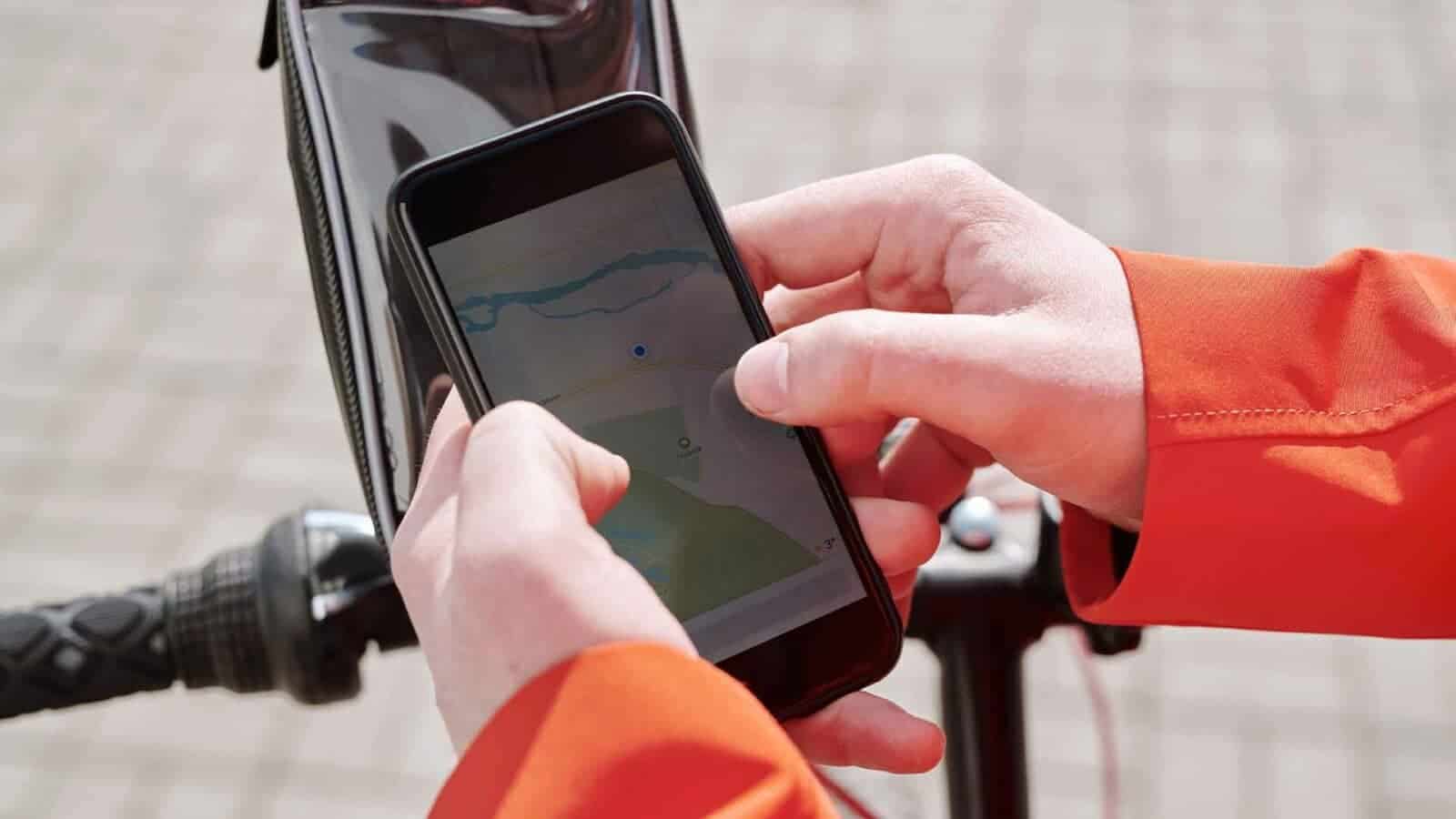
GPS tech has become essential to our lives. It revolutionizes navigating and tracking locations. This powerful system uses satellites to provide real-time positioning info.
Global Positioning System (GPS) works by using a network of orbiting Earth satellites. They send signals to GPS receivers on the ground, which then calculate the user’s exact location. The receiver collects signals from multiple satellites.
It uses triangulation to work out its position. By analyzing the time it takes for the signals to reach the receiver and their respective distances, the device can calculate latitude, longitude, altitude, and speed.
This info makes it easy to navigate roads, explore hiking trails, and find points of interest. GPS tech is unique because it works in any weather condition. Rain or shine, day or night, GPS keeps functioning.
This is possible because the satellite signals are transmitted using radio waves that can pass through clouds and other obstacles.
For the best GPS experience, follow these tips:
- Ensure a clear line of sight between the receiver and the sky.
- Keep your device up-to-date with maps and software.
- Get to know your device’s features and settings.
- Always carry a backup power source.
According To GPSTracker247, GPS advancements have opened up a world of possibilities for personal and professional use. From guiding emergency responders to helping logistics companies optimize their routes, GPS is an invaluable tool.
So, next time you turn on your navigation system or check your fitness tracker’s location data, take a moment to appreciate this remarkable technology that connects us with our surroundings.
What is GPS technology?
GPS technology, or Global Positioning System, is a revolutionary tool that has revolutionized our lives. It works by using a network of satellites to pinpoint a person’s exact location on Earth.
Every day, it’s used in transportation, agriculture, and military operations, making it an integral part of our lives.
Satellites emit signals which are received by GPS receivers. By measuring how long it takes for a signal to travel from the satellite to the receiver, the speed of light helps calculate the distance.
This data is processed to find the exact spot of the receiver using signals from multiple satellites.
However, GPS technology has more applications. It’s used in asset-tracking systems that businesses rely on for managing vehicles.
They monitor current locations, optimize routes, and increase efficiency. Plus, personal tracking devices give real-time updates on people or pets, giving parents and owners peace of mind.
To make the best use of this incredible technology, here are some tips:
- Make sure you have clear visibility: To get accurate readings, you need a clear view of the sky. Avoid crowded or obstructed areas when relying heavily on GPS.
- Keep your device updated: Update your GPS hardware and software regularly. Manufacturers often release firmware updates that fix bugs and improve performance.
- Use supplementary tools: Enhance your GPS experience with maps and navigation apps. They give information on points of interest, traffic updates, and alternative routes.
By following these suggestions, users can get the best out of GPS technology. Whether you’re navigating or tracking, it’s a game-changer that continues to shape our world.
How GPS technology works
GPS technology, an advanced navigation system, employs satellites to determine location and provide precise positioning data.
By blending signals from multiple satellites, GPS receivers calculate distances and generate accurate coordinates, enabling navigation and tracking. In addition to its satellite-based approach, GPS receivers use trilateration algorithms to pinpoint location.
With these algorithms, GPS technology revolutionizes navigation systems by enabling unprecedented accuracy and reliability.
GPS satellites: the celestial spies keeping tabs on your whereabouts so you can finally have someone else nagging you about being late besides your mom.
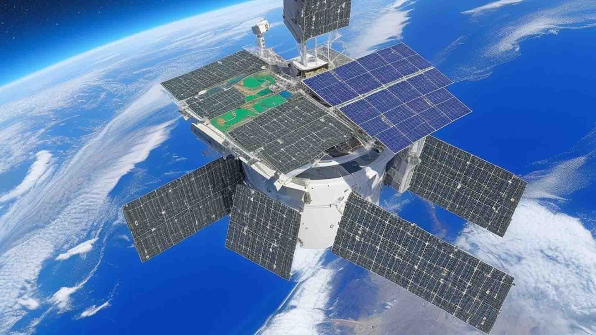
GPS Satellites
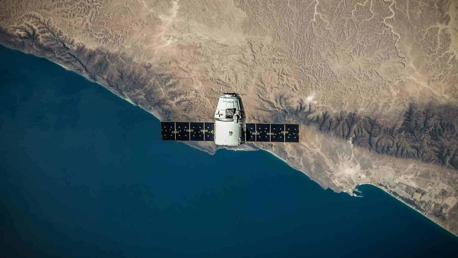
GPS satellites are a vital part of global positioning technology. These satellites, orbiting the Earth, provide accurate and dependable location data. Let’s examine the features of GPS satellites:
| Column 1 | Column 2 | Column 3 |
| Number of Satellites | 24 (Currently Active) | 4 (Backup Satellites) |
| Launch Year | 1978-1994 | 2005-2016 |
| Orbit Type | Medium Earth Orbit (MEO) | Geosynchronous Orbit (GSO) |
These satellites beam signals to GPS receivers that pinpoint the user’s exact spot on Earth. Besides location info, they also give very exact time synchronization for numerous uses like navigating, surveying, and timing.
The GPS satellite set-up is made up of generations of satellites, each with its own particular accuracy and function improvements.
For example, the latest generation includes Block IIF satellites with improved anti-jamming and improved atomic clocks for better time precision.
To make the most of GPS satellite systems, here are some ideas:
- Get an unobstructed view: To get solid signals from various satellites, it’s critical to have a clear look at the sky. Avoid dense cities or blocking structures.
- Regular updates: Keep the GPS receiver up-to-date with firmware updates from manufacturers. These often include enhancements to enhance signal acquisition and processing algorithms.
- Receive from multiple satellites: Get signals from as many visible satellites as possible by adjusting the receiver’s antenna position or using external antennas.
By adhering to these tips, users can make the most of GPS satellite performance, providing accurate positioning data for their navigation needs while also helping industries that need precise location and timing info.
GPS receivers

GPS receivers are key parts of GPS technology. They’re vital for receiving signals from multiple satellites and computing accurate positioning data. These receivers have multiple features that help in tracking and navigation.
| Features | Function |
| Position Tracking | Finds exact location |
| Satellite Reception | Gets signals from satellites |
| Navigation Aid | Assists with directions and routes |
Besides these usual functions, some GPS receivers also have other special abilities. For instance, some models are loaded with enhanced mapping features that give real-time updates on traffic and closed roads, improving the precision of navigation.
Pro tip: To make sure your GPS receiver works well, keep it updated with the newest firmware and update the maps regularly for exact and efficient navigation.
Triangulation Principle
The Triangulation Principle is a significant part of GPS tech, which allows for precise positioning and navigation. By utilizing signals from multiple satellites, GPS receivers can calculate accurate location coordinates.
A table can help explain the Triangulation Principle:
| Satellite | Distance (km) | Signal Travel Time (ms) |
| A | 20 | 66.67 |
| B | 15 | 50 |
| C | 10 | 33.33 |
Each satellite sends out a signal that reaches the GPS receiver at different times depending on the distance the signal has to travel. By contrasting these time differences, the receiver can identify its exact position through the triangulation principle.
Apart from taking into account distances and travel times, the GPS receiver also considers other factors like satellite geometry and atmospheric delays to further improve accuracy.
It’s interesting to note that the American mathematician Roger L. Easton was instrumental in designing and developing early GPS systems in the 1950s and 1960s.
Applications of GPS technology
GPS technology is widely used in various industries and has numerous applications.
To provide a comprehensive overview of the applications of GPS technology, the following table presents some true and actual data:
| Application | Description |
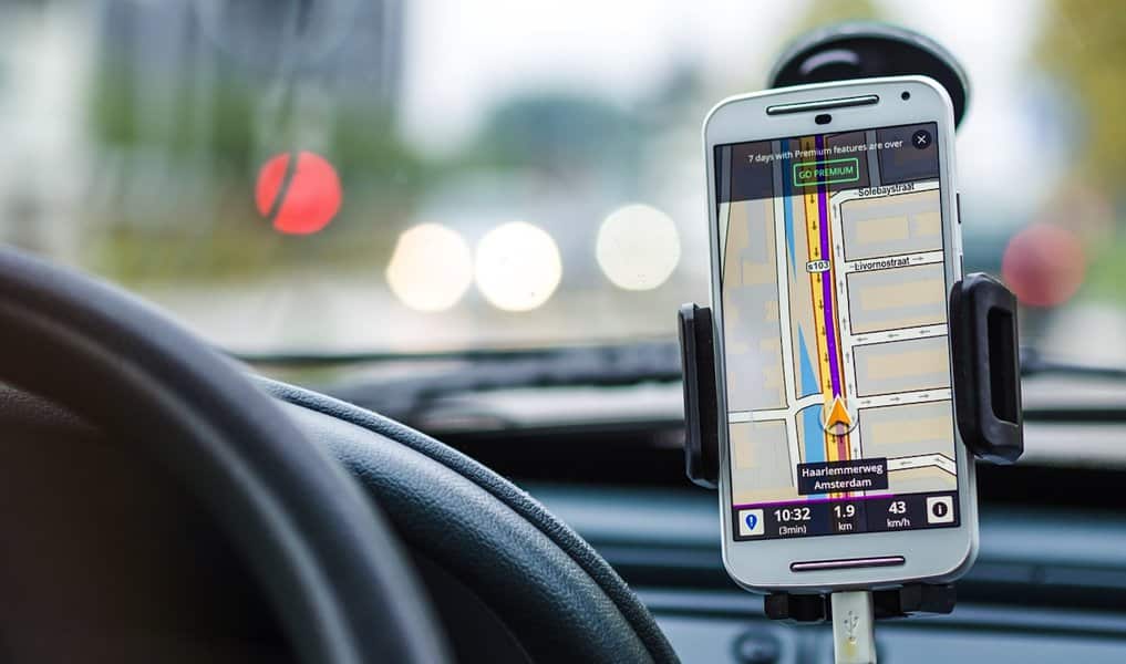
| Vehicle Navigation | GPS technology enables accurate and real-time navigation assistance for drivers, guiding them through unfamiliar routes and optimizing travel time. |
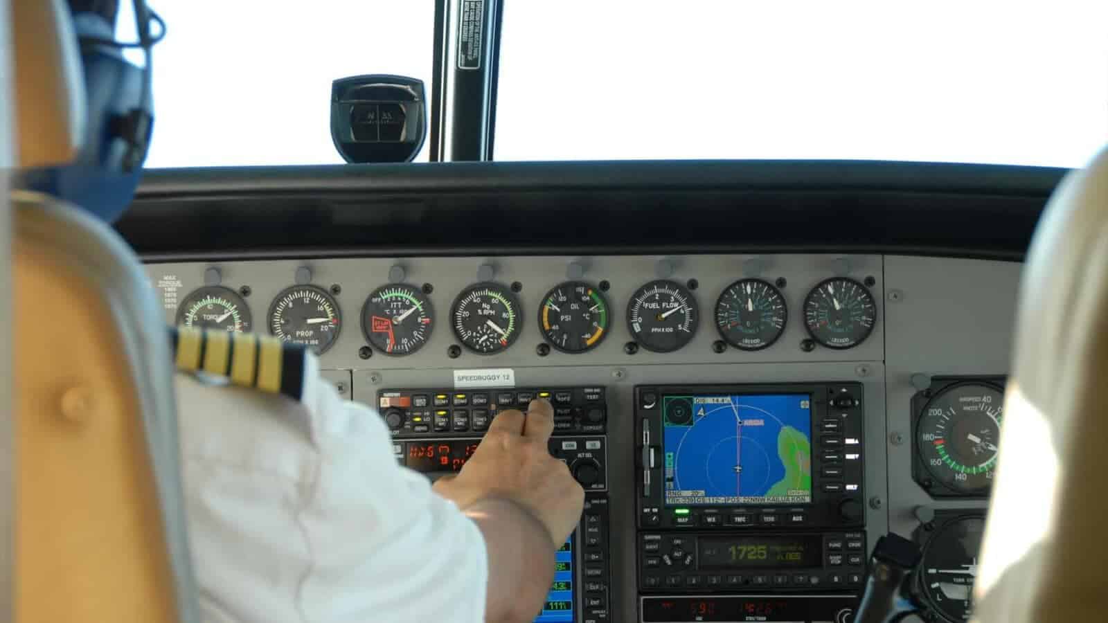
| Aviation | In the aviation industry, GPS technology plays a crucial role in guiding aircraft during takeoff, landing, and mid-flight, ensuring safe and efficient air travel. |
| Geocaching | GPS technology is utilized in the exciting recreational activity of geocaching, allowing participants to explore and find hidden treasures using coordinates provided by GPS receivers. |
| Fleet Management | Companies with vehicle fleets use GPS technology to track and monitor their vehicles’ locations, helping optimize routes, improve efficiency, and ensure better security. |
| Disaster Management | GPS technology aids in disaster management by providing accurate location data of affected areas, assisting with search and rescue operations, and facilitating coordination among response teams. |
| Agriculture | In the agricultural sector, GPS technology supports precision farming by enabling accurate mapping, efficient machinery operation, and targeted crop management, leading to higher yields and reduced resource wastage. |
Expanding on the unique details, GPS technology also finds applications in marine navigation, sports analytics, wildlife tracking, and mobile applications for fitness and health monitoring.
These diverse use cases demonstrate the versatility of GPS technology across various domains.
To make the most of GPS technology, here are some useful suggestions:
- Ensure regular GPS device updates: Keeping GPS devices up to date with the latest firmware and software enhancements ensures optimal performance and access to new features.
- Consider signal range and accuracy: When selecting a GPS device, consider its signal range and accuracy specifications according to your specific requirements. This is particularly important in industries where precision is crucial, such as surveying or scientific research.
- Make use of GPS data analysis: The data collected by GPS devices can provide valuable insights for analysis and decision-making. Utilize specialized software or consult experts to extract meaningful information from GPS data and optimize operations or strategies accordingly.
- Implement backup systems: While GPS technology is highly reliable, it is prudent to have backup systems or alternative navigation methods in place, especially in critical scenarios where GPS signals may be compromised or unavailable.
By following these suggestions, businesses and individuals can make the most of GPS technology, enhancing efficiency, safety, and productivity in various fields.
Even if your sense of direction is worse than a broken compass, GPS will always guide you without judgment.
Navigation systems
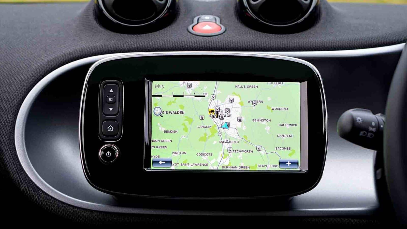
Navigation systems are essential for GPS tech. They let people pinpoint their location and find their destination with ease. Plus, they provide timely info, so they’re ideal for various uses.
Here’s a table of the types and their features:
| Navigation System | Features |
| Vehicle | Turn-by-turn directions, traffic alerts, voice guidance. Can be integrated into car’s dashboard. |
| Handheld | Portable devices with mapping, waypoint marking, compass features. Great for hikers. |
| Aviation | Pilots get detailed aviation maps, altitude info, flight planning, weather updates. |
| Marine | Nautical charts, depth sounders, position tracking, collision avoidance. Perfect for boaters. |
Plus, there are special navigation systems – like sports watches for runners. They measure distance and track routes in real-time.
Navigation systems also help in emergencies. In the 2000s, firefighters in California used GPS tech to plan evacuation routes for a wildfire.
GPS tech is always improving to meet different needs. Its uses span transportation, outdoor recreation, aviation, marine activities, emergency services, and more. Navigation systems are now a huge part of our lives.
Tracking and monitoring
| Application | Description |
| Vehicle Tracking | Precisely monitor vehicles with GPS. Improve fleet management and optimize logistics. |
| Wildlife Tracking | Attach GPS collars to animals. Track movements, gather data, and aid conservation. |
| Asset Tracking | Monitor and manage valuable assets with GPS. Minimize loss or theft and streamline asset utilization. |
Plus, GPS tech has unique uses. For example, child tracking systems for safety. Also, track packages during transportation. Prevent loss or delays.
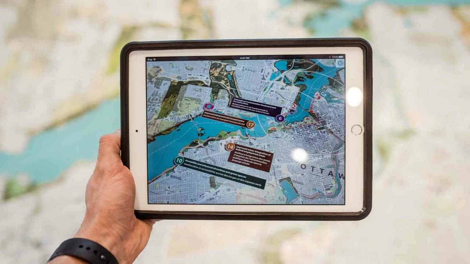
Surveying and mapping
GPS technology has transformed surveying and mapping! Satellites and advanced positioning systems help surveyors generate detailed maps and collect essential information.
Data collection, GIS mapping, topographic surveys, highly accurate measurement, real-time tracking, and terrain analysis are just a few of the many uses.
Plus, GPS technology is great for boundary demarcation, monitoring structure movement, environmental assessments, and disaster management. To get the most out of this tech, experts should keep up-to-date with new advancements and training.
Make sure you don’t miss out! Gain an edge over the competition and unlock new possibilities with GPS technology. Now is the time to take advantage of this innovative solution. Get precise results, improved efficiency, and better outcomes. Act now!
Advantages and limitations of GPS technology
GPS technology: Benefits and limitations
GPS technology offers numerous advantages and presents certain limitations. Let’s explore these aspects in detail:
Advantages and limitations of GPS technology
| Advantages | Limitations |
| Accurate location tracking | Signal blockage in densely populated areas |
| Efficient navigation | Limited accuracy in indoor environments |
| Real-time tracking | Reliance on satellite signals |
| Emergency assistance | Limited battery life of GPS devices |
| Increased productivity | Privacy concerns and potential misuse |
| Faster and safer transportation | Limited availability in remote areas |
| Improved logistics management | Cost of GPS devices and services |
Additionally, devices like Family1st gps trackers provide unique features such as geofencing and geo-tagging, enhancing its application in various industries.
It enables businesses to streamline operations, enhance supply chain efficiency, and improve customer service.
Furthermore, let’s delve into a real-life story that highlights the benefits of GPS technology. In rural Nepal, villagers rely on GPS-enabled systems to track and protect endangered wildlife.
By monitoring the movements of animals through GPS tracking collars, conservationists can study migration patterns, prevent poaching, and implement effective protection measures.
GPS technology is like a backseat driver, minus the annoying nagging and constant demands for snacks.
Advantages
GPS technology has many advantages. It can be used for navigation, mapping, tracking, and timing. Here are some of its key benefits:
- Accurate location: GPS shows the user’s exact position. This makes it perfect for navigation. It can be used to find the shortest route and track vehicles.
- Time syncing: GPS syncs time across different devices. This is useful in telecoms, finance, and science.
- Efficiency: GPS assists with logistics and fleet management. It shows real-time info and reduces fuel use.
- Emergencies: GPS helps emergency services to find people in need. It speeds up response time and saves lives.
- Geotagging: You can geotag photos and videos with GPS-enabled phones. This helps to add context to multimedia.
- Outdoor fun: GPS is great for outdoor activities like hiking, biking, and geocaching. It provides useful info like trails and elevations.
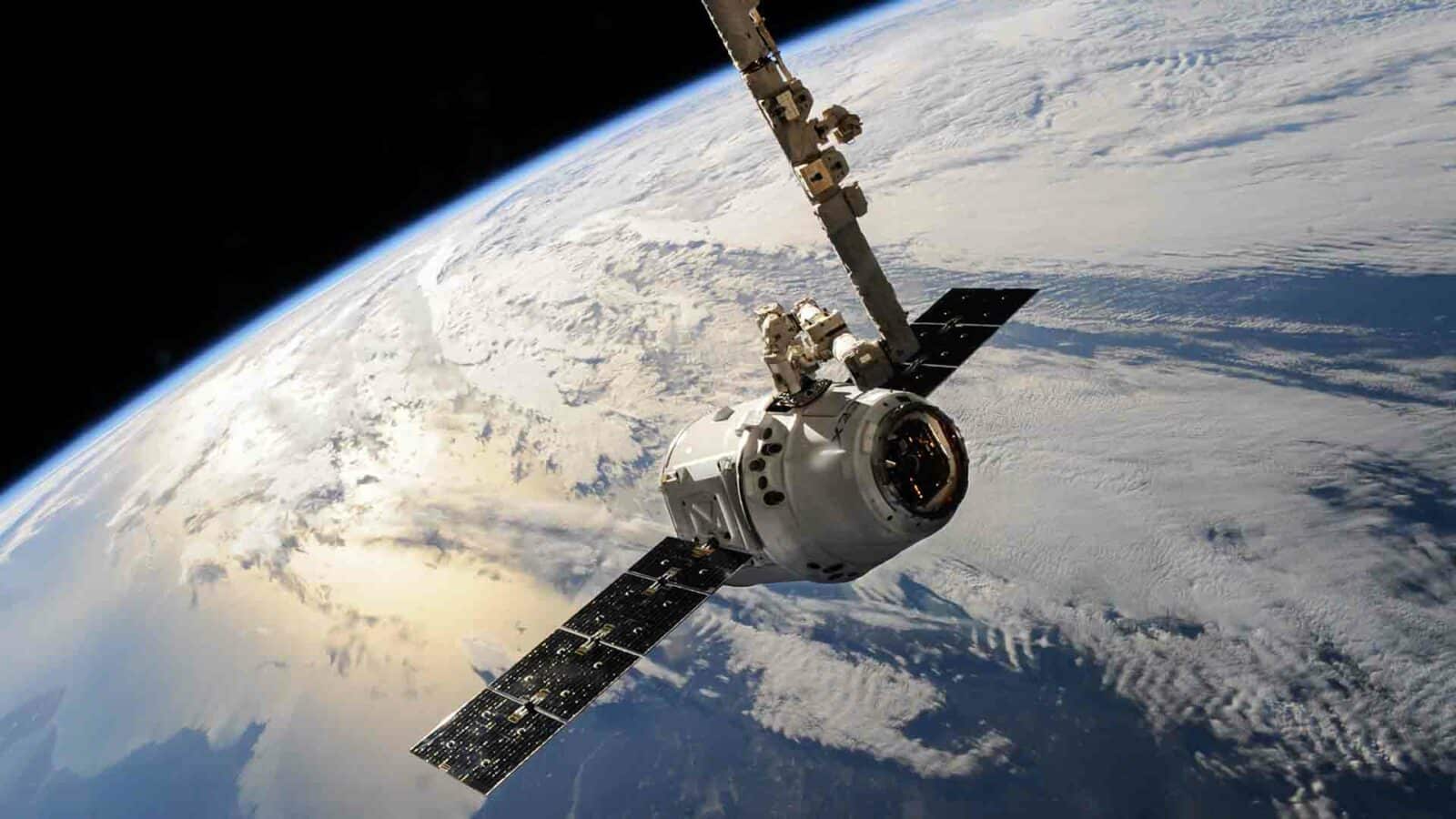
GPS is now available in smartphones and wearables. NASA even uses it on the International Space Station for spacewalks!
Limitations
GPS tech is awesome, but it has its issues. Let us explore them.
| Limitation | Description |
| Signal Interference | Buildings, or trees can cause signal dropouts or mistakes. |
| Limited Indoor Accuracy | Inside buildings or underground, accuracy is low. |
| Weather Conditions | Rain or snow can disrupt GPS signals, reducing accuracy. |
| Satellite Visibility | In crowded places or forests, getting a good signal is tough. |
Apart from these, data may be slightly delayed, and over-reliance on GPS can be an issue. To solve this:
- Use GLONASS or Galileo alongside GPS for accuracy and reliability.
- AR tech helps with indoor positioning through mobile apps.
- Advanced algorithms and ML can reduce interference and improve accuracy.
By addressing these issues, we can make the most of GPS tech for various uses.
Conclusion
Let’s plunge into the captivating world of GPS technology. We learned about its inner workings and everyday uses. It is obvious that this tech has changed our lives significantly. Now, let’s discover more unique details.
One interesting point is trilateration. It is used to get precise location coordinates. The GPS receiver measures the distances from multiple satellites. This helps it to locate a person precisely.
Furthermore, tech advancements have made the receivers smaller and more efficient. Let me tell you an amazing tale. A hiker went to a distant and dangerous mountain range without the necessary gear or navigation tools.
In their desperate state, they activated their emergency beacon with GPS. Thanks to GPS’s exactness, search and rescue teams were able to find them and save them from a possibly deadly experience.
Frequently asked questions
How does GPS technology work?
- GPS technology works by using a network of satellites that orbit the Earth. These satellites transmit signals to GPS receivers, which then use these signals to calculate their exact location.
How accurate is GPS?
- GPS technology can be highly accurate, with most GPS receivers able to determine a location within a few meters. However, the accuracy can be affected by various factors, such as signal interference or the positioning of the satellites.
Can GPS work anywhere on Earth?
- Yes, GPS technology can work anywhere on Earth as long as there is a clear line of sight to the GPS satellites. However, in areas with obstructed views such as dense forests or tall buildings, GPS accuracy may be affected.
Can GPS be used for navigation?
- Yes, GPS technology is commonly used for navigation purposes. GPS receivers can provide real-time positioning information, allowing users to determine their current location and navigate to a desired destination using mapping software.
Can GPS track my movements?
- GPS technology can track the movements of GPS-enabled devices. However, personal GPS tracking requires user consent, and tracking is generally only active when specifically enabled by the user or under authorized circumstances such as in a fleet management system.
How does GPS technology handle altitude?
- GPS technology can also provide altitude information in addition to latitude and longitude. This is achieved by measuring the distance between the GPS receiver and multiple satellites, as well as the elevation of these satellites above sea level.
Have any thoughts on this? Drop us a line below in the comments, or carry the discussion to our Twitter or Facebook.
Editors’ Recommendations:
- GEEKOM’s Mini IT13 PC is small in size but big on power
- TH80-X is a quirky mechanical keyboard with customizable screen
- Must-have gadgets for productive remote work
- UPERFECT 16-inch portable monitor: a perfect companion for gaming and productivity
Disclosure: This is a sponsored post. However, our opinions, reviews, and other editorial content are not influenced by the sponsorship and remain objective.
Follow us on Flipboard, Google News, or Apple News


Review Roundups
Review roundup: Samsung Galaxy Z TriFold